Equipment-Driven Planning for Capital-Intensive Academic Research Facilities
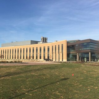
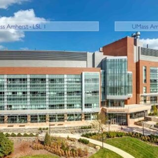
The University of Massachusetts Amherst (UMass Amherst) recently completed the construction and fit-out of their new Life Science Laboratories after receiving a $95 million grant from the Massachusetts Life Sciences Center (MLSC)—a quasi-state agency dedicated to growing the state’s life sciences industry. The new interdisciplinary research wing features state-of-the-art equipment and core resources that will be shared across multiple research teams and industry partnerships. While the new core labs were built into a pre-existing shell with an open floorplate and operational MEP, the final design was driven by the cost-intensive equipment list. Since the agency grant designated a specific amount of funding for the equipment, the type of equipment was known but exact model and vendor was not known before many of the other design and programming decisions were made.